Foresturbia
HOVINBYEN, A LANDSCAPED CITY
Dare to imagine
Imagining a territory is the first and most powerful move to transform it. This imagination is powered by, is grounded on a specific attention towards the territory itself, it takes its strength from it. A fresh reading, a careful description, a precise proposal are equally important moves, that all together will form a shared, clear and powerful vision for the future of Hovinbyen.
Change through modification
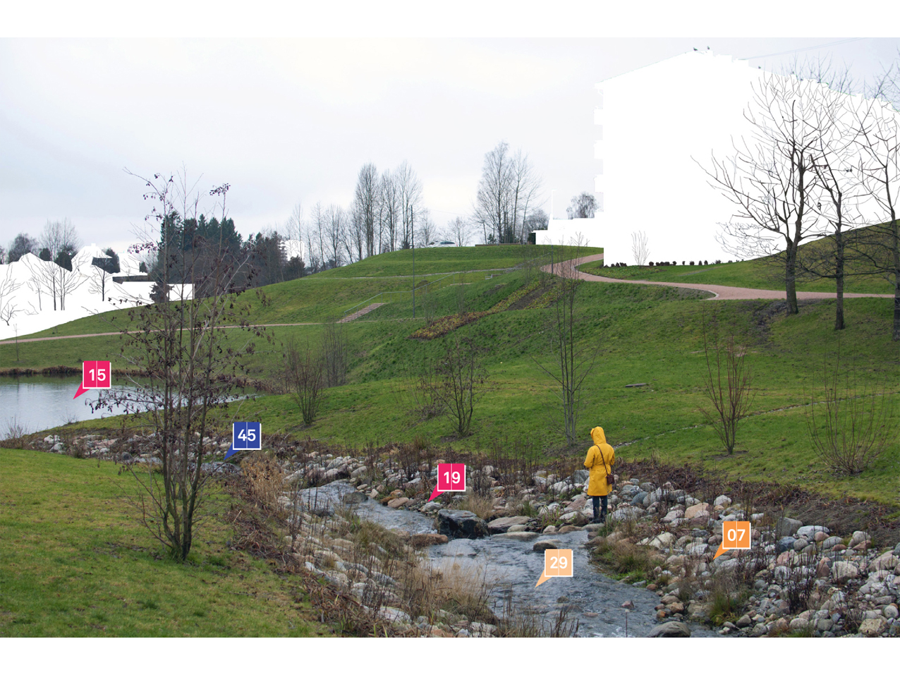
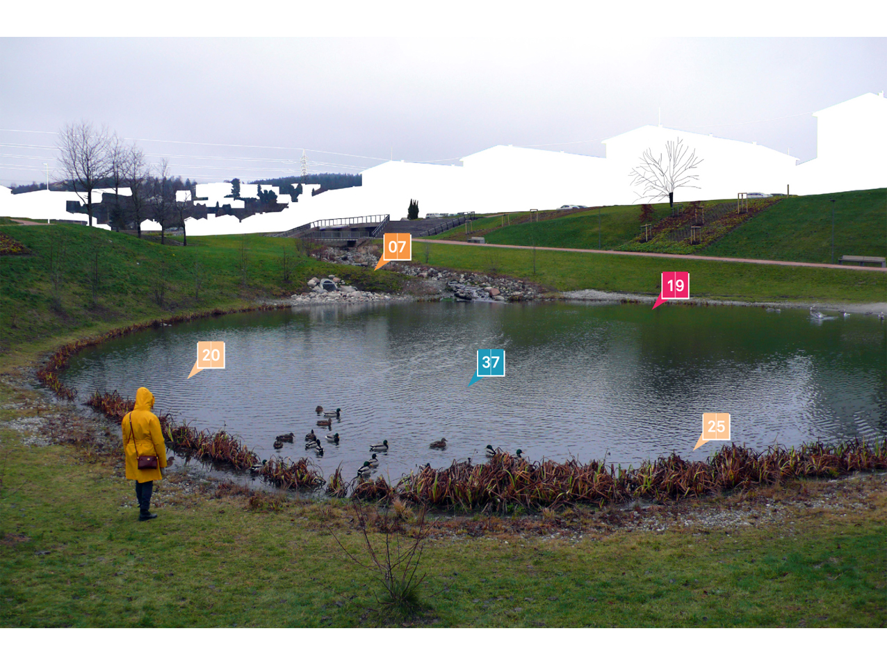
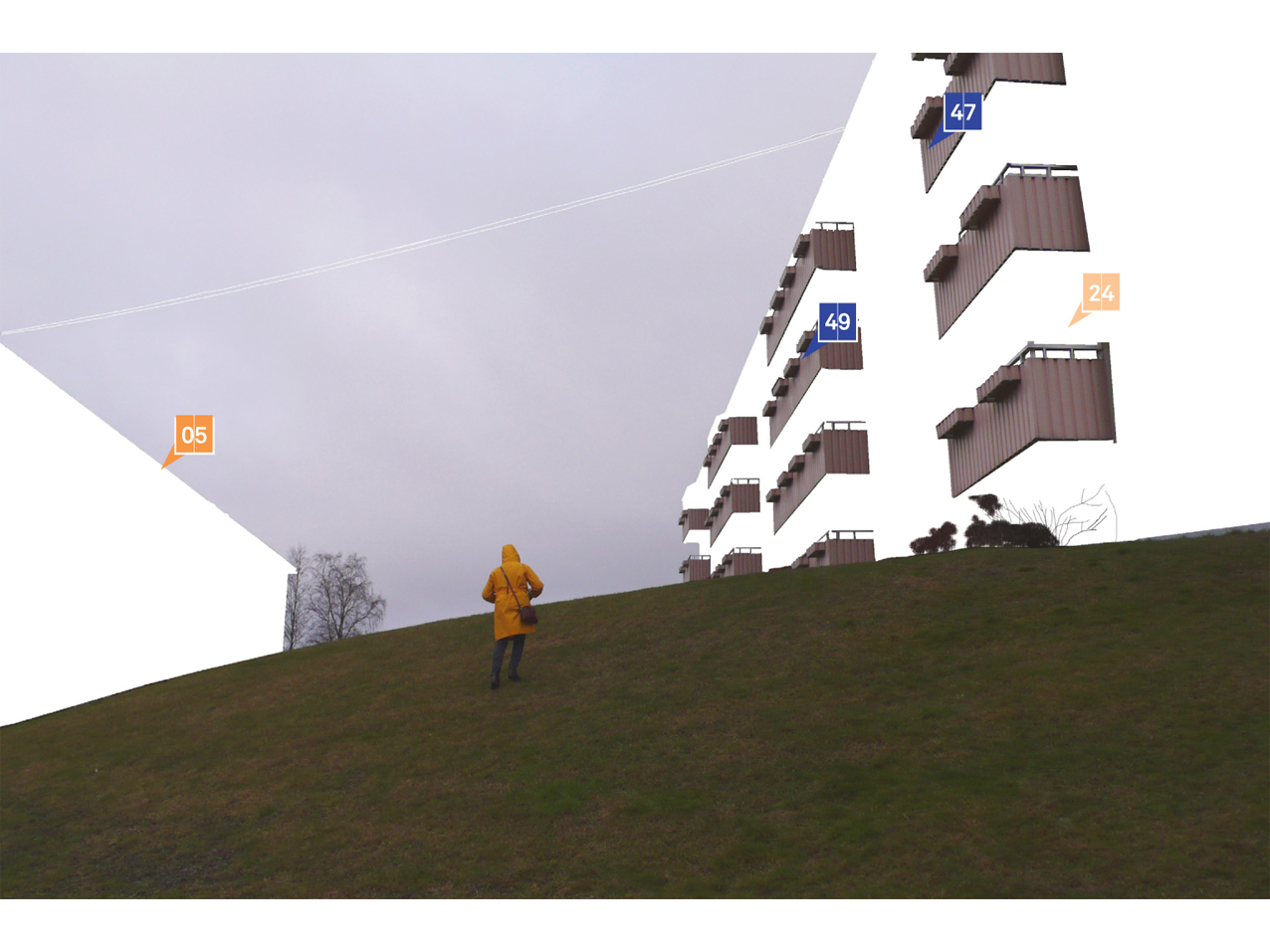
Hovinbyen needs no revolutions, but coordinated modifications. To host 27.000 new flats and 2,5 million sqm of commercial space, as foreseen by Oslo 2030, Hovinbyen should not be turned into a tabula rasa: this complex area, that shows rapid patterns of change in land-occupation, deserves effective interventions that will take into account both regional and local dynamics, while preserving the qualities that turn its diversity into an asset. Modification, in opposition to erasure, is also a form of care, of belonging, of recognition of the specific topography, climate, and history of Hovinbyen.
Multiple souls
Bjerke, Sinsen, Loren, Lille Tøyen, Ensjø, Helsfyr, Etterstad, Bryn, Breivoll, Haraldrud, Vollebekk, Risløkka, Refstad, Økern, Hasle, Ulven, Teisen, Valle Hovin: the area of Hovinbyen is made of a multiplicity of neighborhoods, with different degrees of development, different histories and challenges to face. Its location, at the same time close to the historic center and gate towards two airports and main infrastructures, makes it desirable for a variety of potentially clashing programs, as housing, shopping centres, logistics, large transportation hubs. This condition sets the regeneration of Hovinbyen as a fascinating yet complex goal, that deserves careful consideration at the different territorial scales and administrative levels.
A Manual for a landscaped city
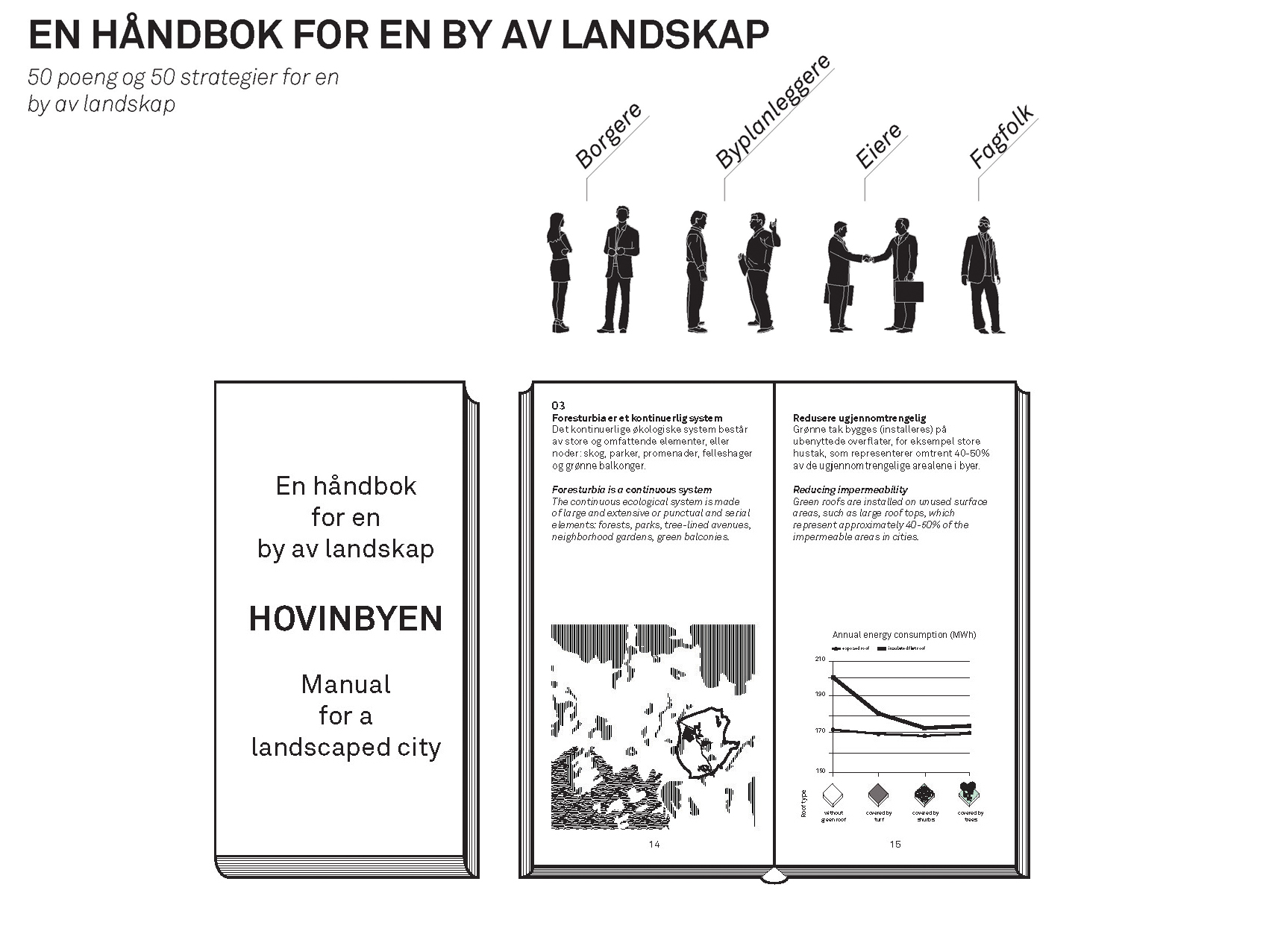
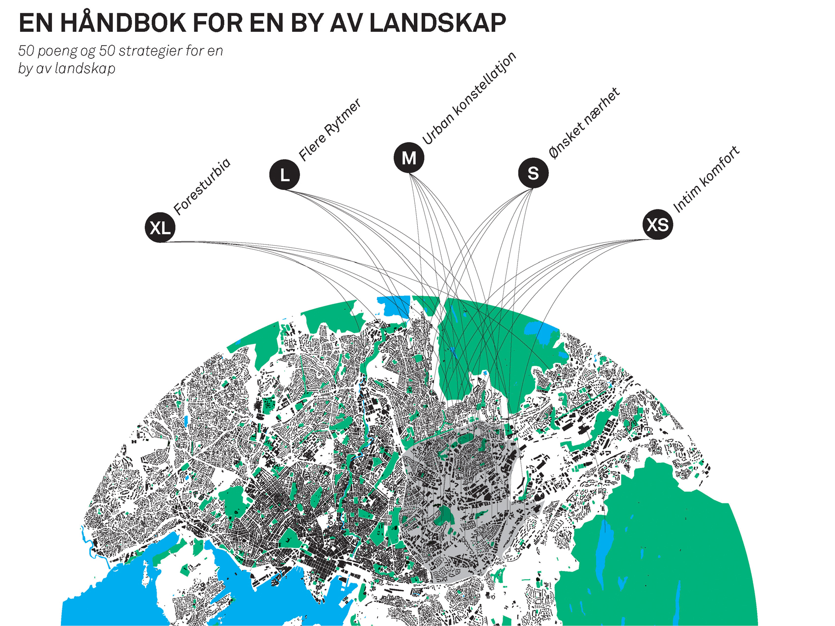
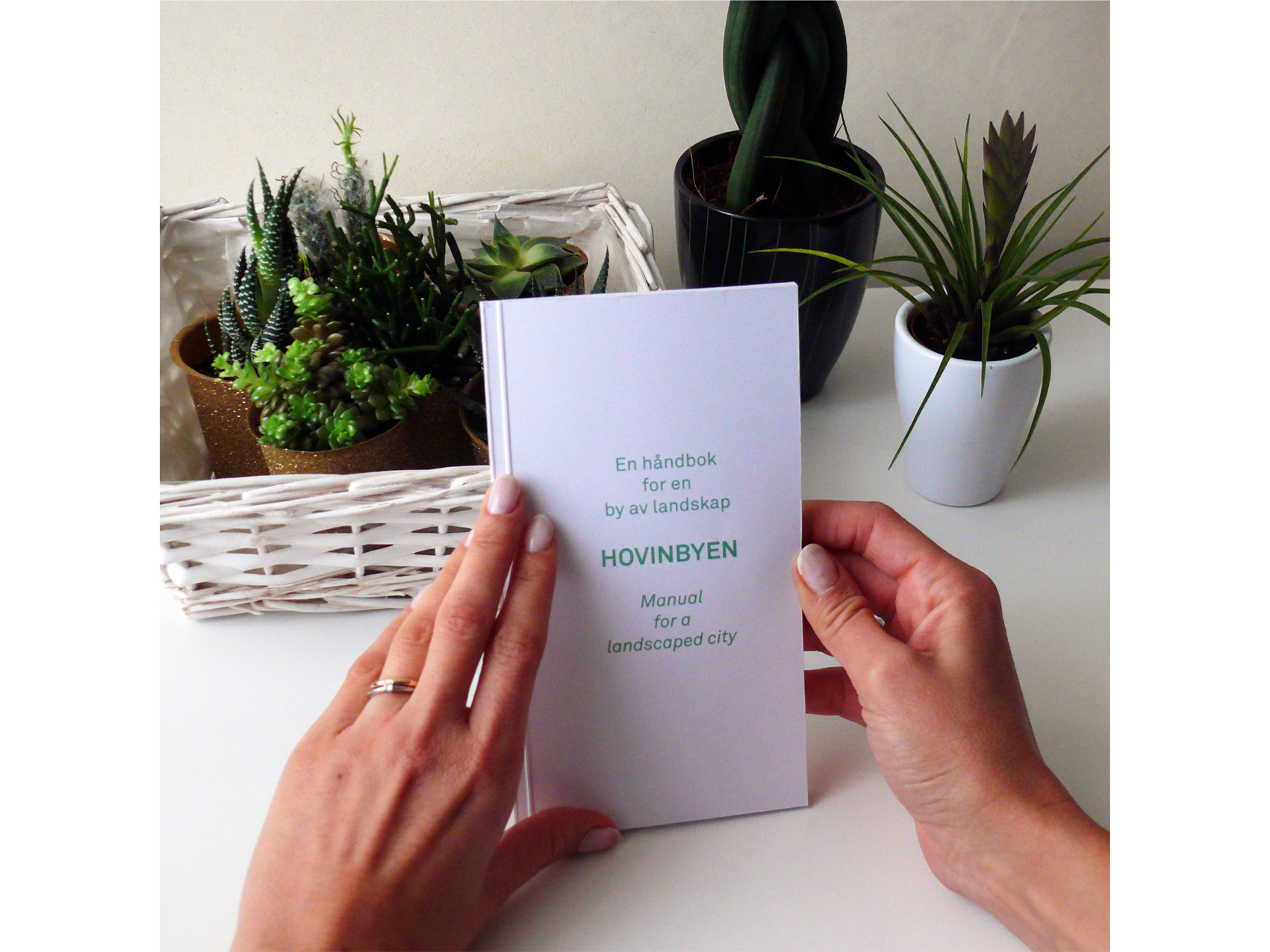
While the design proposal is focused deliberately on the ground, and especially on the realization of a new linear park on the surface today occupied by the Ring 3 in Hovinbyen, a more comprehensive design strategy has not been discarded. The publication “Hovinbyen | Manual for a landscaped city” is in fact intended as a tool complementary to the design represented on the boards, both from the visual and conceptual point of view. The Manual has a stronger written dimension, addressing many aspects that contribute to regenerate and build a sustainable living environment at the different scales, from the territorial to the domestic one. While a choice has been made to not to design built masses in form of buildings in the design proposal, this does not mean that the built infrastructure has been forgotten or considered less important. The Manual contains in fact a wide array of technological solutions that should be taken into account by all the decision makers, designers and citizens that will face the improvement of the city, of Hovinbyen first, but also considering the larger metropolitan context of Oslo. The Manual could become a kind of precious support, a tool for encourage and spread a collective shared knowledge about sustainable living.
A project of the ground
The design proposal for Hovinbyen should focus on the ground: while buildings and programs are interested by rapidly changing conditions and plans for smaller or larger transformations, that can not always be easily controlled or foreseen, given also the multiplicity of actors involved, ground represents a factor of positive inertia, an anchor in times of dynamic development. This is in fact the space, the surface shared by people and vehicles, buildings and infrastructures, that cannot be considered just in terms of rules and standards, but should aspire to become the representation, the embodiment of inclusive social policies, wise lifestyles and “home” to sustainable buildings and leisure facilities.
A tolerant ground
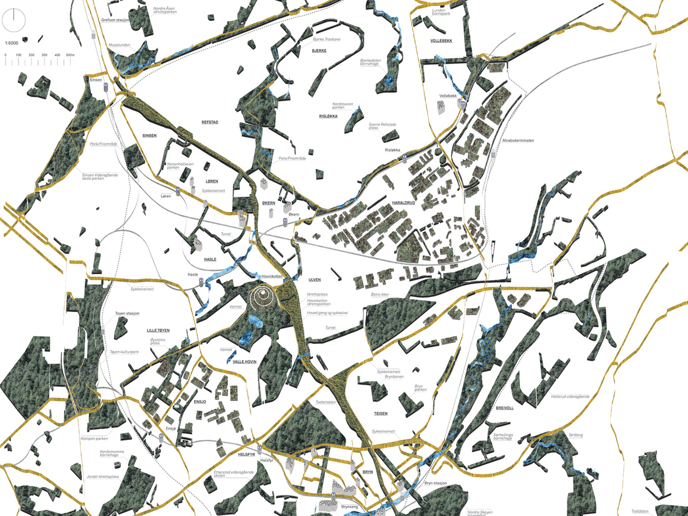
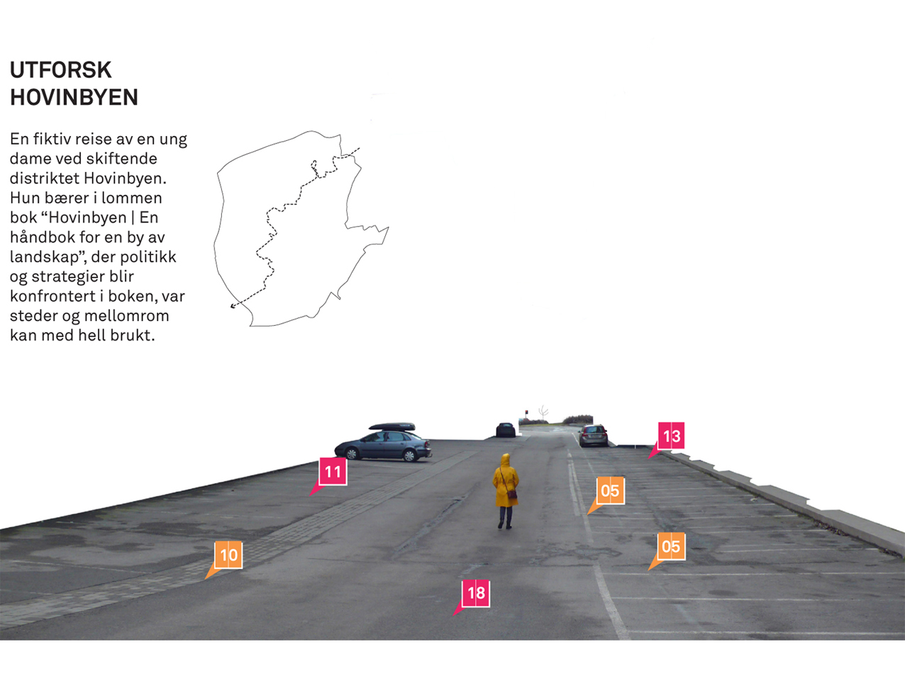
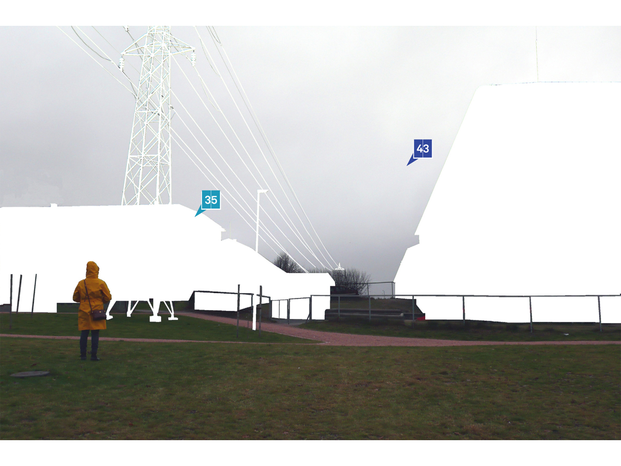
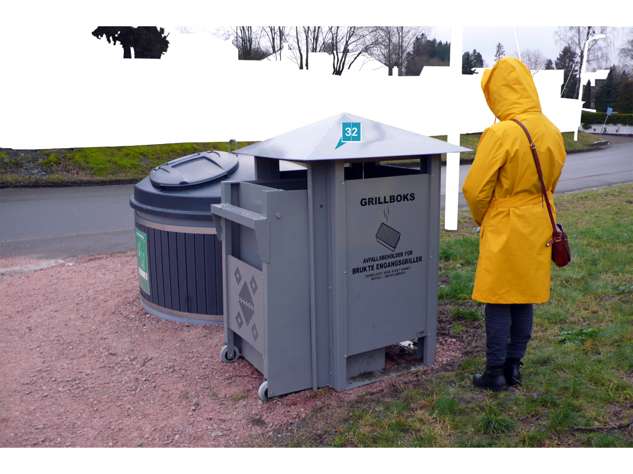
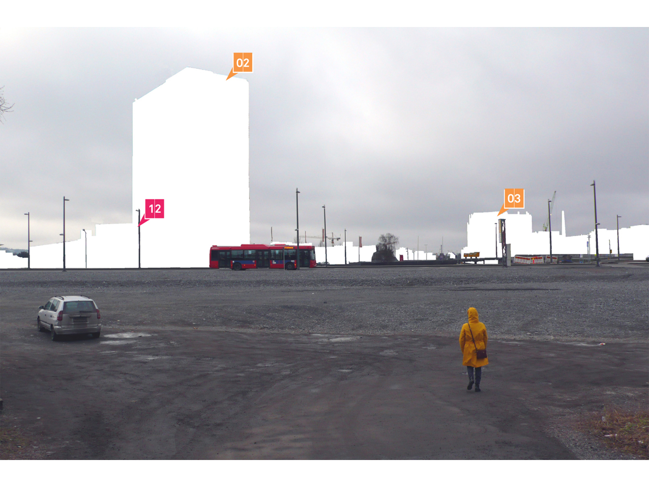
Today the ground of Hovinbyen hosts an incredible variety of existing or planned elements: housing blocks, industrial warehouses, townhouses, logistics hubs, shopping malls, the new Vålerenga stadium, a new ice skating facility, the futuristic Økern center, just to mention some. The area is then crossed by crucial roads and railway lines, by strategic facilities as the Brobekk incinerator that generate considerably heavy traffic, and will be further innervated by new bus lines, by a subway Økern – Breivoll station in Haraldrud/Ulven, by a train station in Breivoll. This uncontrolled growth, while favoring diversity, generated in turn a widely fragmented mobility network, especially at the level of local roads, bike lanes and pedestrian routes.
Connections and articulation
Articulation is a fundamental for the quality of the urban space in Hovinbyen: public spaces should have a proper degree of qualification, an intrinsic legibility in order to compose a larger scale narrative. A subtle equilibrium should be reached between interaction and separation of urban programs. Contemporary peripheries suffer often of an excess of separation of programs, of an excess of concentration that leads to out-of-scale dimensions, either of housing or leisure districts. These factors should be carefully controlled during the regeneration of Hovinbyen, while guaranteeing and empowering infrastructural and immaterial connections both with the historic center and the wider region of Oslo.
Careful match
The coexistence of a multitude of different programs in the same area might lead to the formation of internal peripheries, causing a mismatch between needs and desires of the citizens and the offer of private and public services. Potential incongruities between the location of social services and the location of their users should be addressed by precisely locating a series of facilities, both temporary and long-term ones, that will act either as “smoothers”, untangling problematic nodes, or as “magnets”, creating desired density of activities where needed.
Between soft and hard
As in many contemporary cities, the use pattern of Hovinbyen presents “soft” areas, made of obsolete industrial lots that are relatively economically accessible and easy to transform, and “hard” areas, where land is a precious and valuable resource, where economic interests are coagulated.
A project for the ground, while leaving the market dynamics between soft and hard areas relatively aside, should act on the intermediate areas, on the gaps, providing a bigger frame in which the heterogeneous fragments can successfully coexist. A ground intended as a field where programs and masses can coagulate or dissolve when needed.
The ecological axis
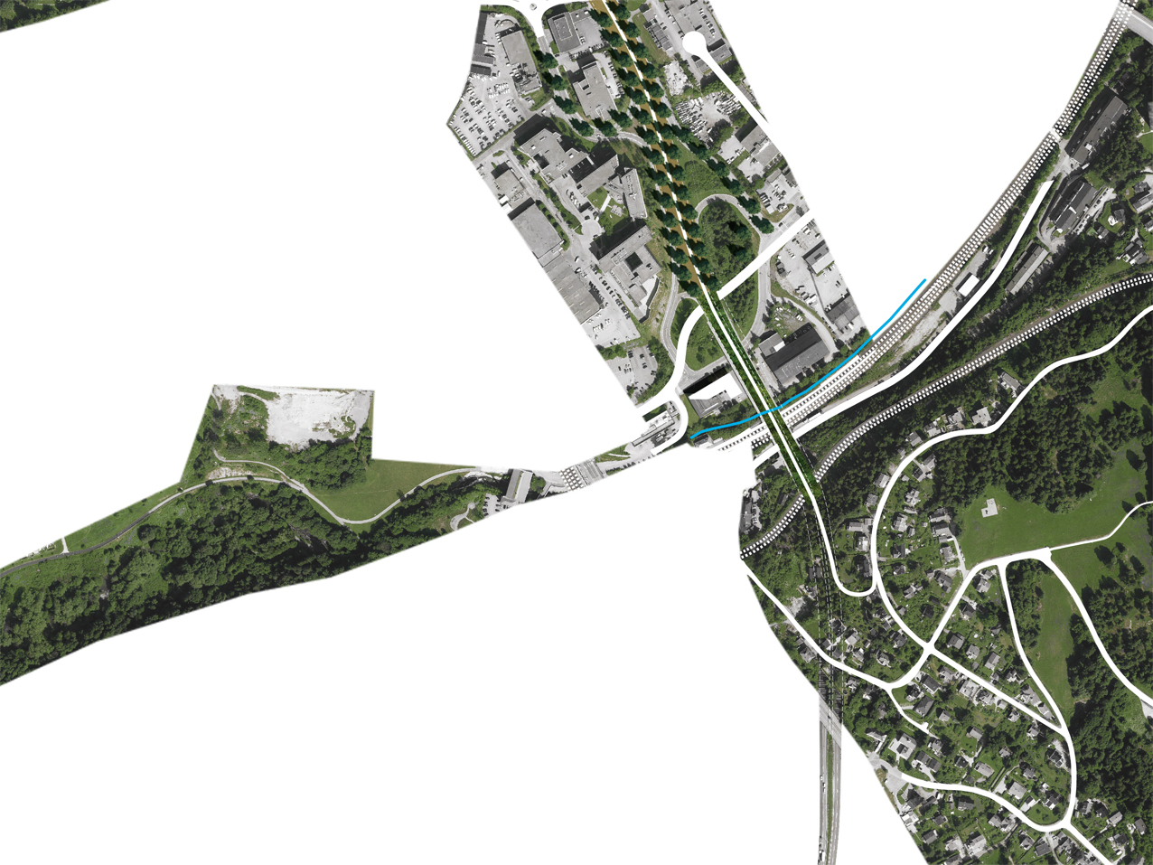
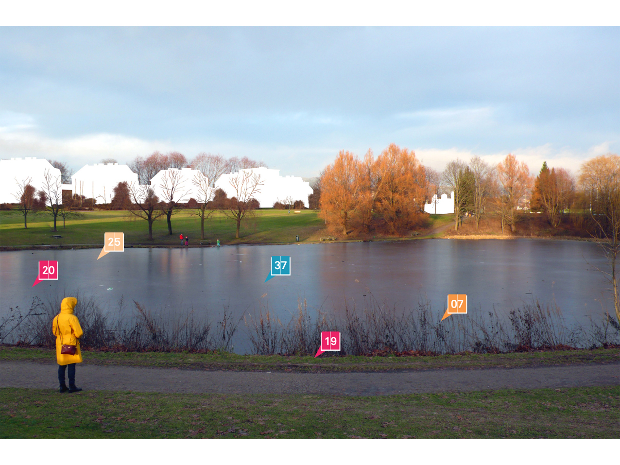
It is widely recognized that today infrastructures constitute strong barriers in Hovinbyen. Highways and railway tracks constitute physical barriers, limiting local mobility, as well as psychological barriers, practical and informational ones. While material or impalpable designs can improve locally or in a wider area these conditions, a more radical intervention is considered fundamental to address the mobility and quality of life issues in the area. Pragmatically, the existing railway infrastructure is too complex to redefine, so the attention has to be directed towards the system of highways that bisect in two directions Hovinbyen. The almost west-east axis connecting the city center to the Oslo airport would remain relatively untouched, while the section of the Ring 3 crossing from north to south Hovinbyen would be completely put underground, thus extending the tunnel that already characterizes the Ring 3 just north of Hovinbyen. This move could on one side remove a strong barrier between the western and eastern parts of Hovinbyen, while liberating a considerable strip of land that would constitute the backbone for the soft (bike and pedestrian) mobility in the area. More than this, it would turn what are today small and disconnected forgotten leftovers of land and the park of Valle Hovin into elements of a long linear park, crossing from north to south Hovinbyen, connecting the tracks and the forests of the northern and southern hills. This linear park would become part of a group of innovative urban parks that have dramatically raised the appeal of large metropolitan areas, such as the Highline in New York City, the system of Green Streets in Portland, and the Rose Fitzgerald Greenway in Boston.
A leisure landmark
One single move, a surprising series of improvements: this new urban linear park would become an attractor for urban development, while guaranteeing desired continuity both in terms of ecological corridors and safety and efficiency of bike and walking paths. The effort in economic terms would be relevant, but the renowned trend and experience developed in Norway in the construction of tunnels, as well the many positive consequences would make it completely reasonable, donating to Hovinbyen a landmark that addresses all the most relevant and desirable qualities and opportunities for a life in a landscaped city.
A responsive linear park
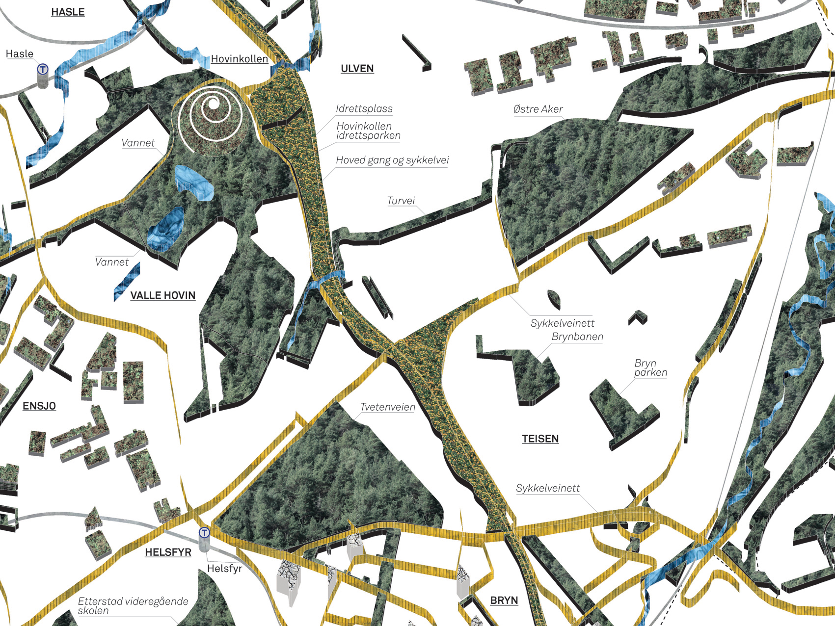
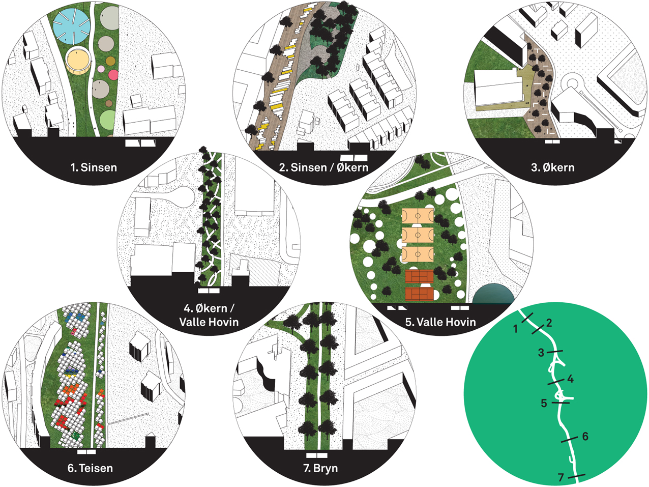
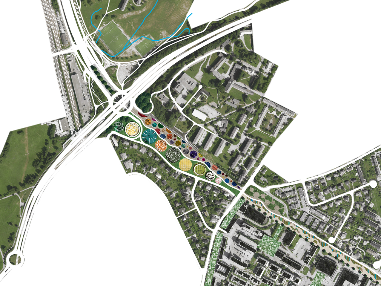
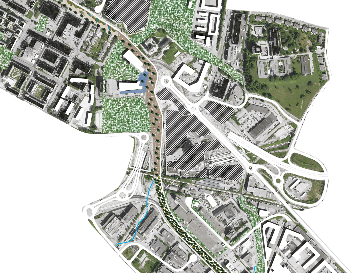
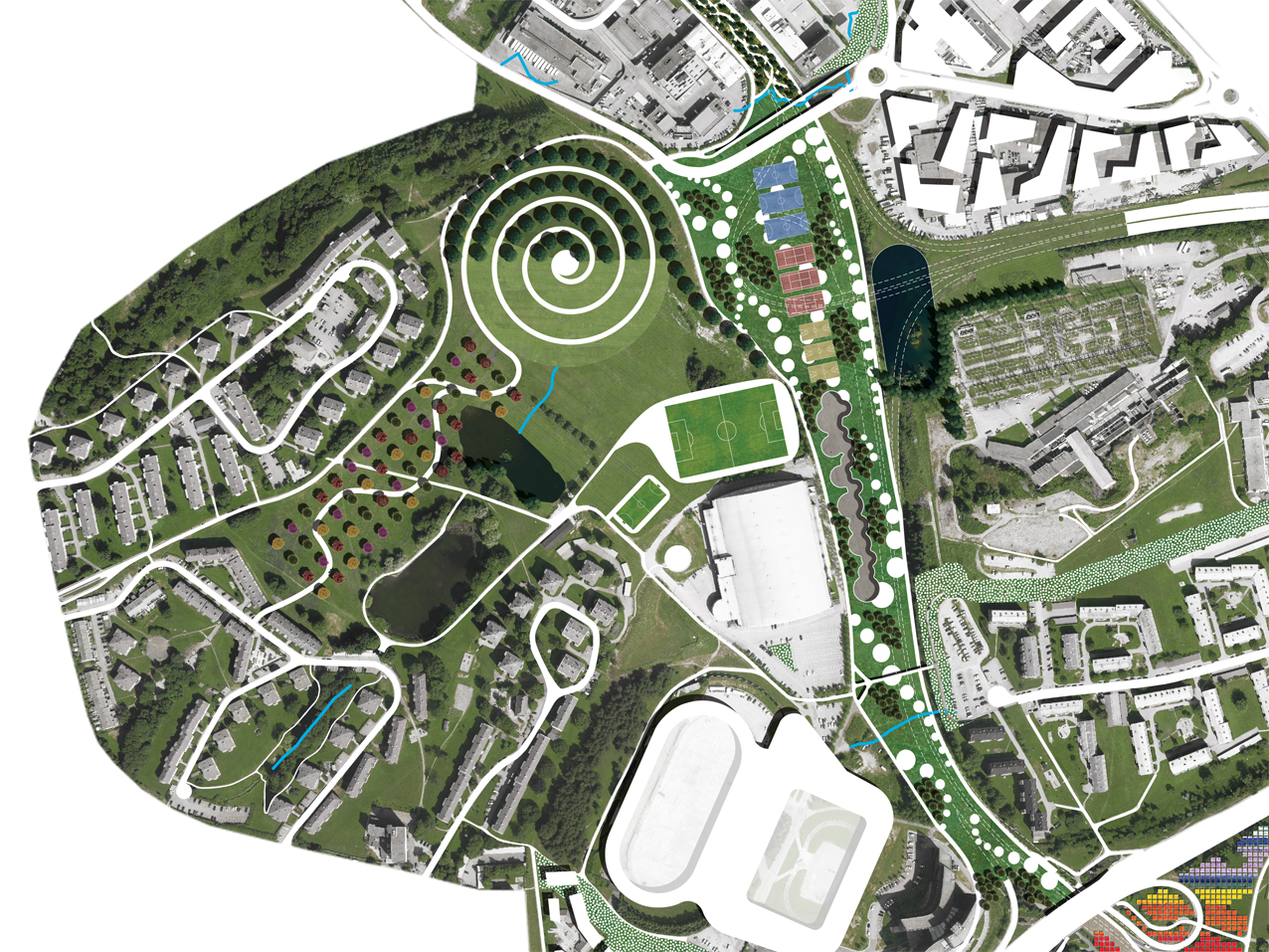
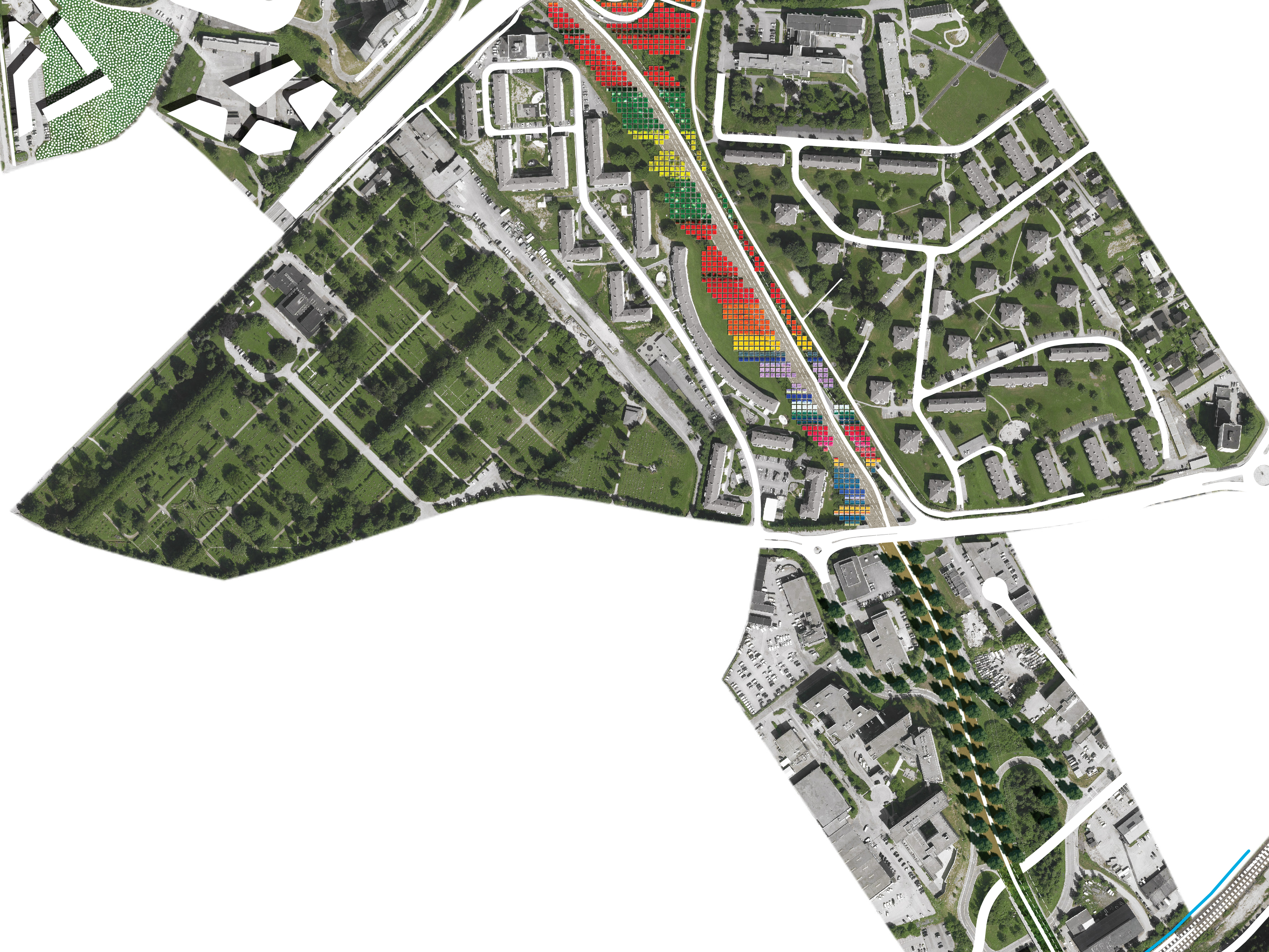
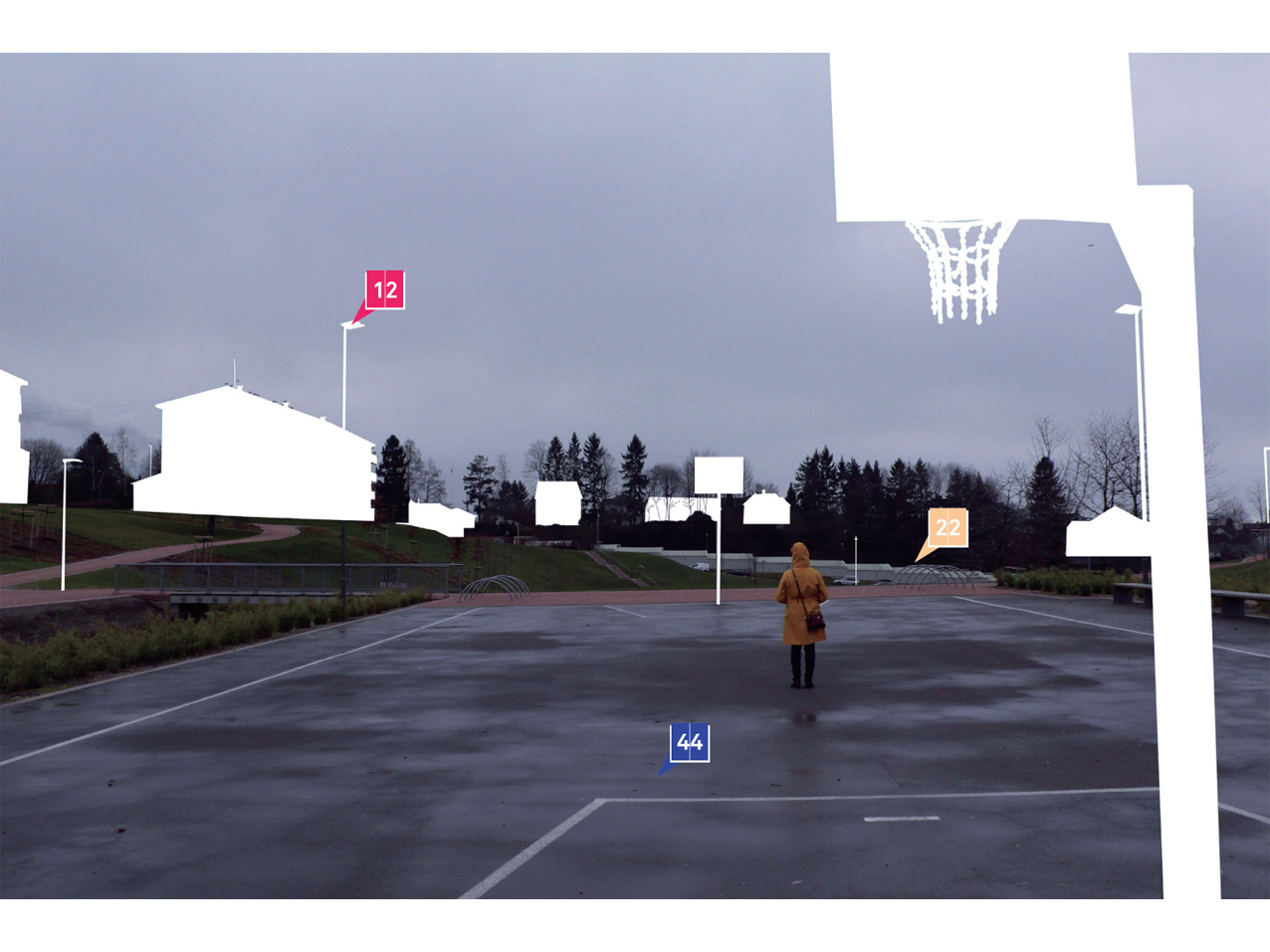
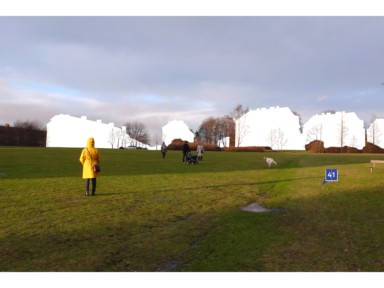
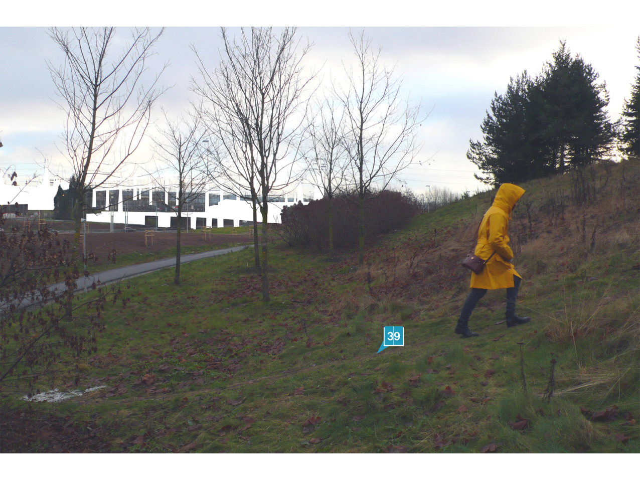
Each section of the new linear park will respond to its context, changing the material and sensorial qualities. The park would start in the northern section immediately south from Muselunden park, planting trees to redefine the spaces between the highway junction. In correspondence with the Sinsen section and its predominant housing dimension, it would become a refined system of circular flowerbeds. The following part would be paved with a harder surface that will let emerge irregular vegetation islands, while the section in relation with the new Økern Center and the Hovinparken nearby would be strongly urban in character, with a cloud of outdoor furniture loosely distributed to serve the potential users. This urban segment would be followed by a savage one, a kind of wild forest among rough warehouses, that would then introduce the Valle Hovin part, where the park would expand in order to ideally and physically include the existing leisure area. Here the system of sports playgrounds would be redefined, in connection with the Valhall Arena and the new Vålerenga stadium and iceskating facility. The Hovinkollen, a new unexpected artificial hill, would further enrich this central part of the linear park. The following section, in Teisen, just south of the E6 higway, would be dedicated to urban horticulture gardens, cultivated by the residents of the area, while the Bryn part would take the form of a tree-lined boulevard that would represent the counterpart to the planned park in Breivoll. The linear park would then pass over the last infrastructural barrier of the railway tracks in the form of a vegetated bridge, and finally be concluded in the southern end in the same way as it started at the northern one, through a densification of the green mass by planting trees, connecting with the Østensjø park and the trails, lakes and forests just west from it. The Hovinbyen linear park would so benefit from an arrange of solutions or techniques that have already been successfully tested in other cities (such as a park in the form of bridge for the Highline in New York City, artificial hills in cities as Milan and Krakow, the recognition and institution of the practice of urban horticulture in many countries), that could be assembled into a continuos system that would dialogue and adapt to the specific climatic, social and topographic conditions of this area of Oslo.
Hovinkollen
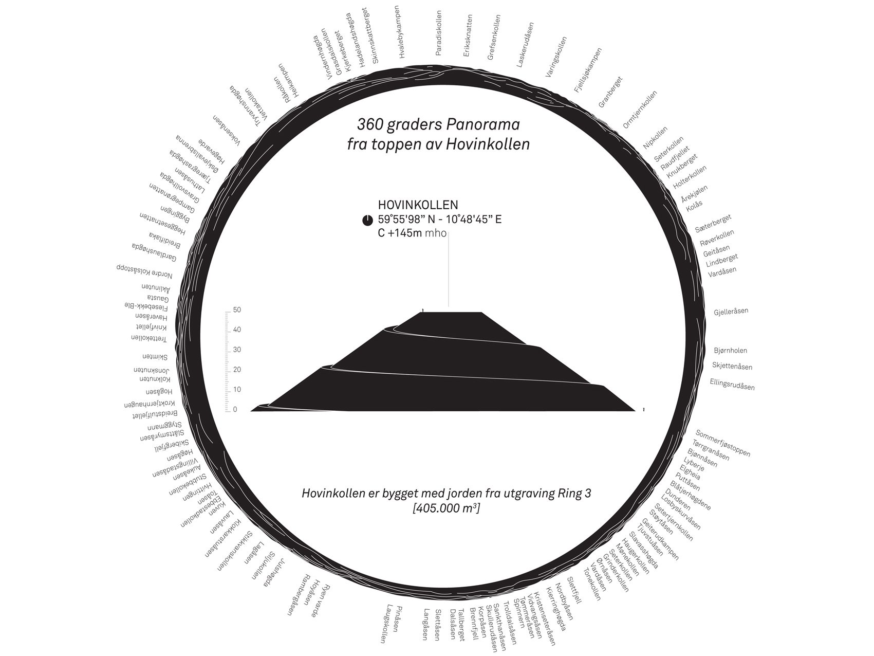
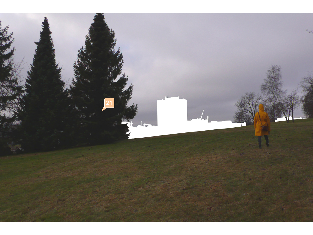
Urban tourism should be strongly supported, and there can be no tourism without attractive landmarks, landscapes or activities. The Hovinkollen, a new artificial hill built with the excavation materials coming from the realization of the new underground section of the Ring 3 in Hovinbyen, would at the same time satisfy all these qualities. It would become a powerful landmark in the relatively flat topography of the district, establishing a dialogue with the surrounding landscape of the region, made mainly of vegetated hills innervated by a network of trails. A set of possible activities could be hosted by the Hovinkollen both in the summer and winter seasons, from sunbathing to going sledging, from climbing on foot or on bike on the spiral path to watching the panorama of Oslo and its bay from the top of the hill.
Double rooms
Hovinbyen has today a double face: on one side calm residential neighborhoods and fragmented green areas, related to a local dimension, and on the other a pervasive system of infrastructures that relate it to a wider context, to which all the warehouses and productive and commercial facilities are connected. These two faces undoubtedly create several problems and tensions, and a choice has already been made in the past years with a number of neighborhood transformations where warehouses districts are going to be replaced by new housing developments and parks. While this trend is recognized by the design proposal, and brought to efficiency as a system putting underground the section of the Ring 3, transforming the freed surface in a continuous linear park, there could be still space for logistics and storage facilities as underground rooms, connected to the Ring 3 itself. This would allow Hovinbyen to improve the quality of life while not giving away the beneficial economic income coming from the storage activities. A double gain would be reached: keeping the goods in a strategic location close to the city center, while not consuming further land in the outskirts of Oslo to build new warehouses that would substitute the ones located in Hovinbyen today.
A plurality of rythms
A successful and pleasant urban environment is largely dependent on a multiplicity of choices available in a relatively limited space and time. This is the goal that should be reached with the transformation and densification of Hovinbyen: to allow all the citizens, from children to the elderly people, to find their own comfortable rhythm in the city, related to different forms of mobility, different intensities of activities, various dwelling typologies and interests in the leisure time. Several different interventions related to the built and open space should be coordinated and organized as an integrated system, of which the network of existing and planned parks, as the new linear park on the current site of the Ring 3, will constitute the backbone and most powerful element.
Project: Foresturbia – Design for Hovinbyen
Site: Oslo – Norway
Assignment: Open Competition
Client: Oslo Municipality
Provided Services: Design
Dimensions: 1120 ha
With: Ludovico Centis
Collaborators
Energy and Environmental Engineering: Ginevra Alessandra Perelli
Traffic and Transportation Engineering: Stefano Bolettieri
Norwegian History, Language and Society: Lisa Lavatelli, William Kempton
Photography: Ylenia Arca
Design: Martina Motta, Aleksa Korolija
